There are three named storms in the tropics as of Tuesday morning, but Tropical Storm Karen is the only one Floridians need to be paying attention to. Karen has restrengthened to a tropical storm after being downgraded late Monday. >>> Track the tropics with the WESH 2 News appThe National Hurricane Center said Karen is expected to threaten Puerto Rico and the Virgin Islands with heavy rains and possible flash flooding and mudslides as it draws near them Tuesday. Forecasters at the Miami center also say the rain and potential flooding from the disorganized storm system will likely continue Wednesday even after the center of Karen moves away from Puerto Rico and the Virgin Islands.Tropical Storm Lorenzo formed Monday over the far eastern Atlantic and is now forecast to become a large and powerful hurricane. As of 5 a.m. Tuesday, Lorenzo is about 310 miles southwest of the southernmost Cabo Verde Islands with maximum sustained winds of 65 miles per hour. It was moving west-northwest at 16 miles per hour.Elsewhere, Tropical Storm Jerry is heading closer to Bermuda. It’s expected to be near that island beginning late Tuesday. At 8 p.m. Monday, the core of Jerry was about 310 miles southwest of Bermuda. Jerry has top sustained winds of 65 mph and it’s moving to the north-northwest at 6 mph.
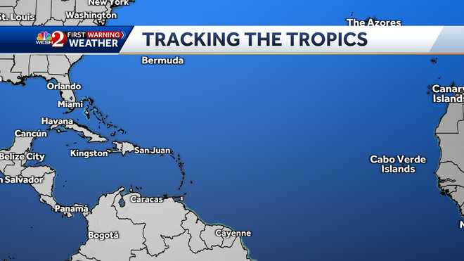
There are three named storms in the tropics as of Tuesday morning, but Tropical Storm Karen is the only one Floridians need to be paying attention to.
Karen has restrengthened to a tropical storm after being downgraded late Monday.
>>> Track the tropics with the WESH 2 News app
The National Hurricane Center said Karen is expected to threaten Puerto Rico and the Virgin Islands with heavy rains and possible flash flooding and mudslides as it draws near them Tuesday. Forecasters at the Miami center also say the rain and potential flooding from the disorganized storm system will likely continue Wednesday even after the center of Karen moves away from Puerto Rico and the Virgin Islands.
Tropical Storm Lorenzo formed Monday over the far eastern Atlantic and is now forecast to become a large and powerful hurricane.
As of 5 a.m. Tuesday, Lorenzo is about 310 miles southwest of the southernmost Cabo Verde Islands with maximum sustained winds of 65 miles per hour. It was moving west-northwest at 16 miles per hour.
Elsewhere, Tropical Storm Jerry is heading closer to Bermuda. It’s expected to be near that island beginning late Tuesday. At 8 p.m. Monday, the core of Jerry was about 310 miles southwest of Bermuda. Jerry has top sustained winds of 65 mph and it’s moving to the north-northwest at 6 mph.
Source link


