

Forecast for Big Island Windward and Southeast
| Shores | Today | Sunday | ||
|---|---|---|---|---|
| Surf | Surf | |||
| AM | PM | AM | PM | |
| North Facing | 0-2 | 0-2 | 0-2 | 0-2 |
| East Facing | 1-3 | 1-3 | 1-3 | 2-4 |
| South Facing | 2-4 | 2-4 | 2-4 | 2-4 |
| Weather | Mostly sunny. Numerous showers. | ||||
|---|---|---|---|---|---|
| High Temperature | In the mid 80s. | ||||
| Winds | East winds 5 to 10 mph. | ||||
|
|||||
| Sunrise | 5:57 AM HST. | ||||
| Sunset | 6:55 PM HST. | ||||
| Weather | Mostly cloudy. Scattered showers. | |||||
|---|---|---|---|---|---|---|
| Low Temperature | Around 70. | |||||
| Winds | Northeast winds around 5 mph, becoming northwest after midnight. |
|||||
|
||||||
| Weather | Partly sunny. Scattered showers. | |||||
|---|---|---|---|---|---|---|
| High Temperature | In the mid 80s. | |||||
| Winds | East winds 5 to 10 mph. | |||||
|
||||||
| Sunrise | 5:58 AM HST. | |||||
| Sunset | 6:55 PM HST. | |||||
Forecast for Big Island Leeward
| Shores | Today | Sunday | ||
|---|---|---|---|---|
| Surf | Surf | |||
| AM | PM | AM | PM | |
| West Facing | 0-2 | 0-2 | 0-2 | 0-2 |
| South Facing | 1-3 | 1-3 | 1-3 | 1-3 |
| Weather | Sunny until 12 PM, then mostly cloudy. Scattered showers. |
|---|---|
| High Temperature | In the mid 80s. |
| Winds | South winds around 5 mph, becoming west in the afternoon. |
| Sunrise | 6:01 AM HST. |
| Sunset | 6:59 PM HST. |
| Weather | Sunny until 12 PM, then cloudy. Scattered showers. |
|---|---|
| High Temperature | In the mid 80s. |
| Winds | Southwest winds around 5 mph, becoming west in the afternoon. |
| Sunrise | 6:02 AM HST. |
| Sunset | 6:59 PM HST. |
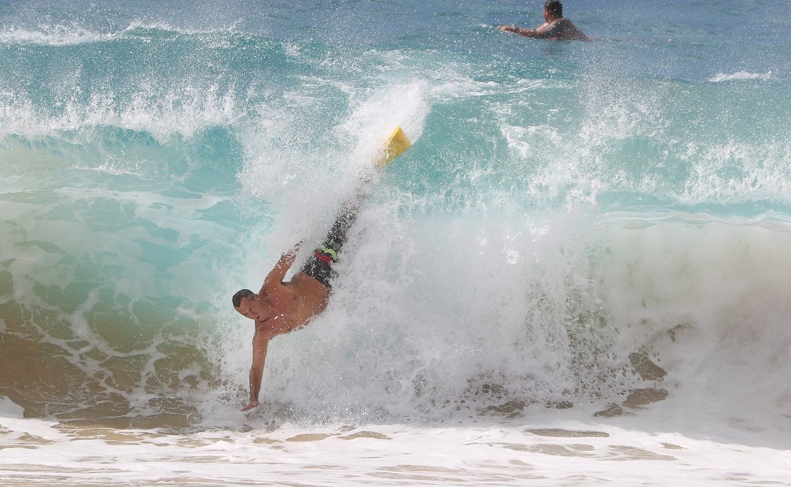
Surf along east facing shores will remain small through the weekend, then quickly ramp up and become rough early next week due to strong easterly trades expected as Hurricane Dora passes far south of the islands. The largest surf is expected over the eastern end of the state, where heights may reach the warning level late Monday through Tuesday night. Advisory-level heights for east facing shores will be possible Tuesday into Wednesday on Oahu and Kauai. A downward trend is expected through the second half of the week as a more typical trade wind pattern returns and seas lower. Surf along south facing shores will remain small through Monday with mainly a combo of background south and south-southwest swell expected. An upward trend is possible late Monday through midweek as a short to medium period southeast swell arrives from Dora. A long-period south-southwest swell arriving later next week will lead to a rising trend for surf along south facing shores.
NORTH EAST
am ![]()
![]() pm
pm ![]()
![]()
Surf: Minimal (ankle high or less) surf.
Conditions: Sideshore texture/chop with SE winds 10-15mph in the morning shifting ESE 15-20mph in the afternoon.
NORTH WEST
am ![]()
![]() pm
pm ![]()
![]()
Surf: Minimal (ankle high or less) surf.
Conditions: Fairly clean in the early morning with S winds 5-10mph. Bumpy/choppy conditions move in during the morning hours with the winds shifting W 10-15mph.
WEST
am ![]()
![]() pm
pm ![]()
![]()
Surf: Minimal (ankle high or less) surf.
Conditions: Glassy in the early morning with W winds less than 5mph. Semi choppy conditions move in during the morning hours with the winds shifting NW 5-10mph.
SOUTH EAST
am ![]()
![]() pm
pm ![]()
![]()
Surf: Small scale (ankle to knee high) surf.
Conditions: Semi choppy with ENE winds 5-10mph.
Data Courtesy of NOAA.gov and SwellInfo.com


Leave A Comment