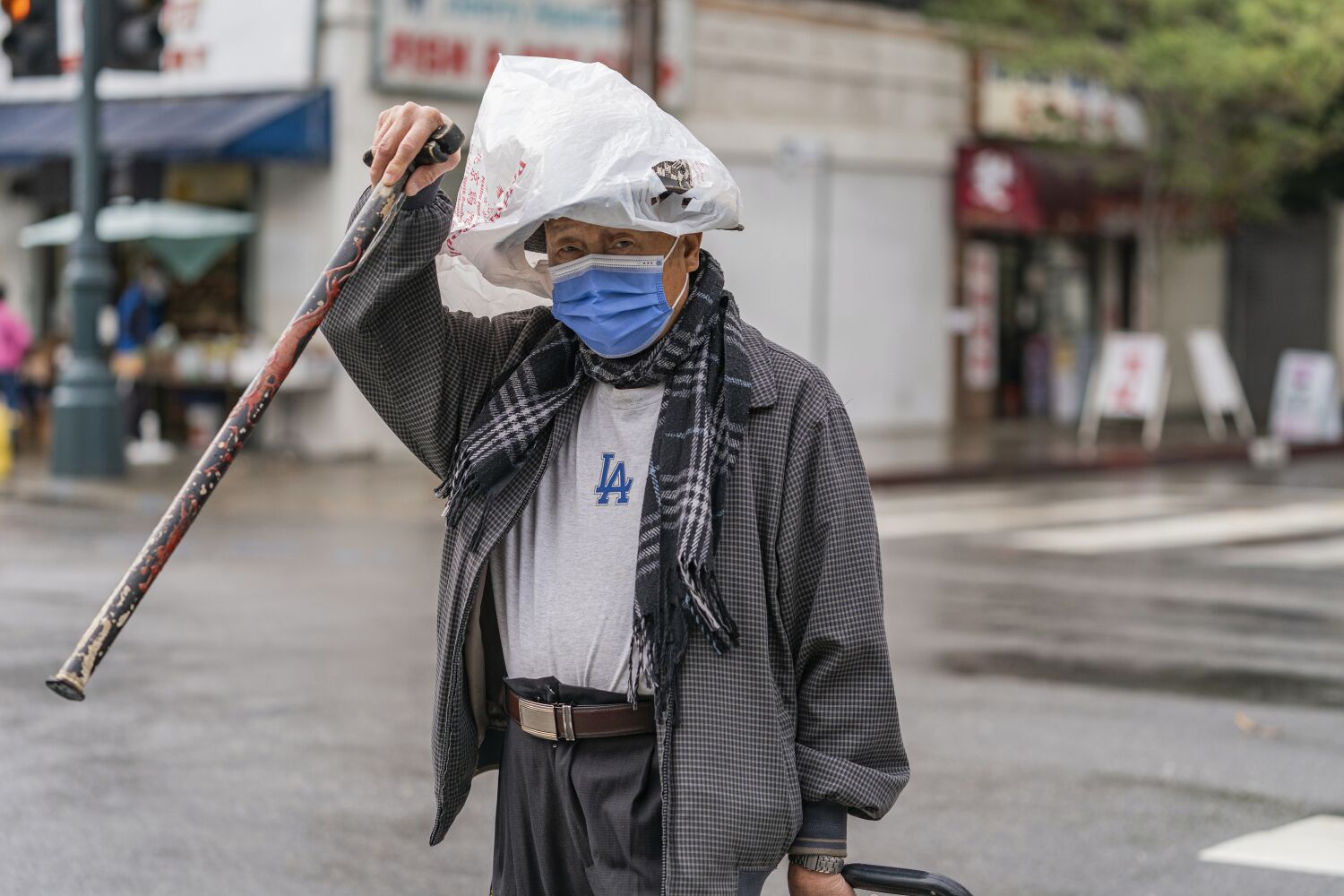
After dampening Southern California the previous day, the first significant storm of the season continued to drench the region on Tuesday morning, with heavy bursts of rain and wind causing power outages and road closures.
It was unclear whether the inclement weather was going to hamper last-minute voters on election day. Polls opened at 7 a.m. under gray skies and widespread rain.
Storms are expected throughout the day across the Los Angeles basin, with heavy bursts of rain likely between 11 a.m. and 1 p.m., according to the National Weather Service.
Coastal and valley areas could see up to 3 inches of rain, with up to 5 inches in the lower mountain areas. Afternoon precipitation could raise those predictions by several inches, weather experts said
“This is a storm we normally see in January,” said Todd Hall, a meteorologist with the National Weather Service in Oxnard. “It’s a great opportunity for some rain.”
The storm is also bringing plenty of advisories, Hall added.
A winter storm warning is in effect for the mountains of Los Angeles and Ventura counties through 10 a.m. Wednesday, with gusty winds and heavy snowfall in the forecast. Snow will be at about 7,000 feet, Hall said, with 8 to 14 inches expected in the Los Angeles County mountains. About 20 inches could fall at the highest peaks.
By Tuesday night, snow levels could drop to around 5,000 feet, creating potentially hazardous conditions along the Grapevine on the 5 Freeway and the Soledad Pass on Highway 14 between Santa Clarita and Palmdale, meteorologists said.
A high wind warning for the Antelope Valley will remain in effect until 10 p.m., the weather service said. Southwest winds of 30 mph to 45 mph, with gusts up to 70 mph, are expected.
Weather experts also issued a flash flood watch for the Bond and Silverado burn scar areas through Wednesday morning. Rainfall rates of around a half-inch per hour are expected between 9 a.m. and 6 p.m., with the potential for brief periods of rainfall rates one-half to three-quarters of an inch per hour, the weather service said.
“We are concerned about heavy rainfall leading to flash floods and mud and debris flows,” Hall said.
Officials in Duarte issued a mandatory evacuation order Monday night for about 25 homes in the burn scar where the Fish fire ignited in June. Streets will be closed, and Duarte Transit Service will be suspended through Tuesday and possibly into Wednesday, officials said.
Orange County and portions of the Inland Empire also were getting soaked Tuesday, and flash flood watches were in effect for the Bond burn scar area as well as the Apple and El Dorado burn scar areas.
The Orange County Sheriff’s Department issued a voluntary evacuation warning Tuesday morning for Silverado Canyon, Williams Canyon and Modjeska in the Bond fire burn area.
About 2 inches of rain had already fallen over parts of the coastal slopes of the San Bernardino Mountains by 8 a.m. Tuesday. Crest Park has recorded the highest rainfall total so far — 2.64 inches — weather officials said.
Another major concern is the wind, Casey Oswant, a weather service meteorologist in San Diego, said.
“We are expecting strong winds from the coast into the deserts,” Oswant said. Gusts of up to 45 mph are expected for coastal Orange County, enough to topple trees. Gusts reaching 70 mph could tear through the San Bernardino County mountains.
“The two main impacts are the rain and the wind,” Oswant said. “Snow will still be an impact, but not until later tonight, and it will mainly be above 6,000 or 7,000 feet.”
