

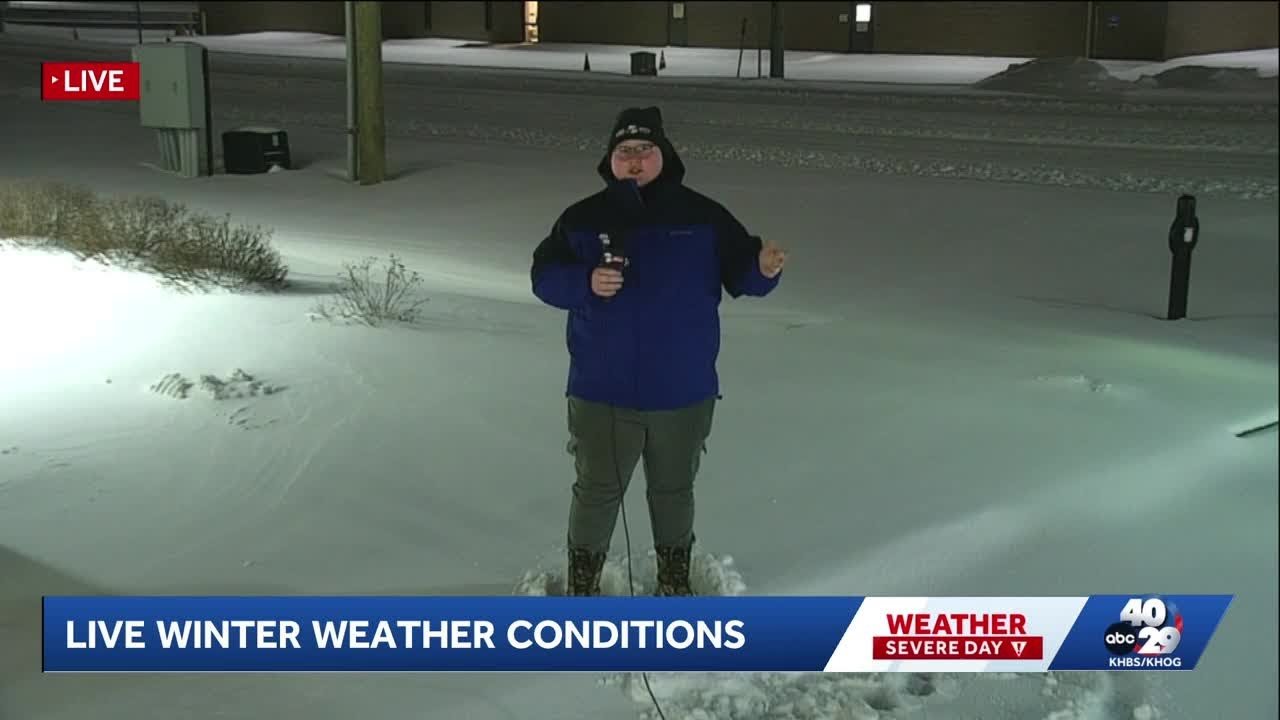
Boulder could see up to 4 more inches of snow today after a significant drop in temperatures overnight, according to the National Weather Service.
Today’s forecast calls for a high of 30 and an overnight low of 16, with 2 to 4 more inches of snow expected, a significant shift from the sunny skies and highs in the 70s the area saw earlier in the week.
While forecasters have had their eye on this storm for quite some time, the early-season snowfall has still had a significant impact, with numerous road closures and crashes being reported along the Front Range.
Boulder, Erie and Broomfield have all gone on accident alert as a result of the weather and call volume, while Boulder Canyon was briefly shut down in both directions.
Friday’s forecast calls for sunny skies with a high of 45 and an overnight low of 25.
Saturday’s forecast calls for sunny skies with a high of 58 and an overnight low of 33.
Sunday’s forecast calls for sunny skies with a high of 65 and an overnight low of 36.
Five-day forecast
Check out what weather is in store for the Boulder County area here
National Weather Service
See what the National Weather service is predicting here
24-Hour satellite
Watch NOAA’s 24-hour satellite image here
Real-time conditions
See what Boulder’s weather is like now at the National Center for Atmospheric Research here


Leave A Comment